

VIDEO
Vertical Temperatures Changes
Radiosonde Balloons
Since the late 1930s, the National Weather Service (NWS) has been making air observations using radiosondes. These are small, expendable instrument packages that are carried into the atmosphere by a balloon fi lled with hydrogen or helium.
The radiosonde measures profiles of pressure, temperature, and relative humidity. Scientists gather information on wind speed and direction that is useful for weather forecasting and predicting severe weather events. When the balloon has expanded beyond its elastic limit, which usually occurs at about 30,000 m (almost 100,000 ft), it bursts. A small parachute slows the descent of the radiosonde to enable it to be reused.
There are over 800 upper air observation stations in use throughout the world, the majority being in the northern hemisphere. Through international agreements, data are exchanged between countries. Although the primary use of radiosonde balloons is for shorter-term weather purposes, the data also are being correlated with ground and satellite temperature measurements.
All three temperature-measurement methods (i.e., ground temperature, radiosonde, and satellite) agree that both the surface and the troposphere have warmed and that the stratosphere has cooled. Data bellow lists the layers of the atmosphere. Early radiosonde data, however, were not consistent as to whether the rate of warming of the troposphere is greater or less than the surface warming.
Errors in radiosonde measurements have been identifi ed and corrected. Current radiosonde data are now consistent with satellite and ground-based measurements.
Satellites
Low Earth orbit satellites have been measuring the earth’s temperature from space since 1979. Satellites in polar orbit circle the earth approximately every 90 minutes.
With each pass around the earth, the orbit of these satellites follow a slightly different path, providing nearly complete coverage of the entire surface of the earth. By recording the components of the (invisibly) glowing earth, scientists can measure the temperature of the Earth from space. The instrument that is used on most of the weather satellites is called the microwave sounding unit (MSU). The MSU records heat radiated from the earth in the form of invisible infrared waves, which are then interpreted as temperature.
Layers of the Earth’s Atmosphere
Layer – Height above the Earth’s Surface- Approximate Temperature Range – Key Characteristics
Thermosphere – To about 600 km (372 miles) – Over 1700°C – Very low density of gases; sometimes called the ionosphere
Mesosphere – To about 85 km (53 miles) – To –93°C – Temperature decreases until a boundary called the mesopause
Stratosphere – To about 50 km (30 miles) – To –3°C – Contains ozone layer; warmer because of ultraviolet light absorption
Troposphere – 8–14.4 km (5–9 miles) = 17 to –52°C – Layer where all weather occurs; troposphere’s height varies with solar energy; it is lowest at the poles and highest at the equator
Satellites in orbit measure the earth’s temperature using instruments that collect long-wavelength light energy. One of the main advantages of satellites is that they monitor almost the entire earth each day, providing the largest statistical database and the greatest resolution of variation from one place on the earth to another. Satellites measure the total heat radiated from the earth, which has a direct bearing on the earth’s temperature.
Satellites, however, are limited in their ability to separate temperatures at different atmospheric layers, although some altitude information can be extracted from the data. Satellites collectively carry 13 different instruments. These also provide a profile of temperature from the earth’s surface up through the troposphere (from the surface to about 10 km), which is the lower layer where all the earth’s weather occurs and the stratosphere above it (from about 10–30 km).
Scientists working with MSU data encountered some initial problems in interpreting the precise details of the vertical temperature profile through the layers of the atmosphere. The IPCC’s Third Assessment Report in 2001 identified discrepancies with the early satellite data related to refinements needed to establish precise orbital positions. These discrepancies have been corrected and the satellites data now agree with measurements derived from radiosonde balloons and near surface thermometers:
• The average global temperature is increasing and is warming at an increasing rate.
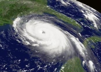
• The troposphere is warming at a rate that is slightly more rapid than at the surface. This is consistent with models that attribute the atmospheric warming to absorption by greenhouse gases. The troposphere actually appears to be getting larger as a result of atmospheric warming.
• The stratosphere is cooling. With more heat extracted from the atmosphere at lower altitudes, there is less heat left at higher altitudes. Depletion of ozone in the stratosphere also contributes to lower temperatures there.
• Land areas are heating at a more rapid rate than the ocean. This can be at least partially understood based on the fact that the heat capacity of water is more than four times that of air. This means that for a given amount of heat absorbed, water will increase only one-quarter the number of degrees of an equal mass of air.
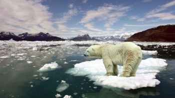
• The northern hemisphere is heating at a much more rapid rate than the southern hemisphere. The temperature increase is Alaska is nearly four times as great as the global average.


